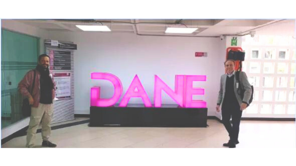
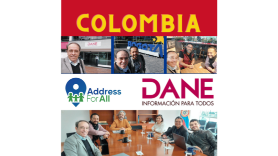
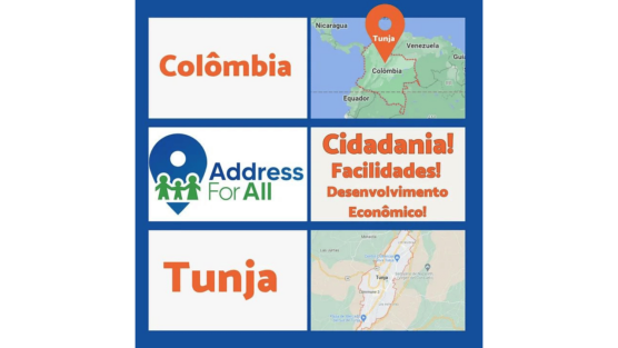
The National Administrative Department of Statistics of Colombia (DANE) is the main secondary source of information of the country, responsible for overseeing the national population census and carrying a multitude of surveys and studies, most of them georeferenced, which provide data and metadata that, in addition to being used for its investigations, are of immense value to other entities and the general public.
Through the work carried out by the Address for All Institute and after multiple meetings with support agencies, such as the open data project of the Ministry of Information Technologies, they acknowledged that their input known as “Maestro de Direcciones” (Address Master) had the possibility of becoming an open data product for use and reuse in the field of geographic information. The input was processed by the DANE Geoinformation Coordination and the Geostatistics Board (DIG), resulting in approximately twenty-two million (22,000,000) georeferenced address records, which constitutes nearly all urban and rural properties of the country. The publication required the authorization of DANE’s Subcommittee for the assurance of the statistical reserve, which met in August and approved for publication, since the data is in the public domain and was anonymized in the compilation process.
The information published by DANE is a dataset with the street address and coordinates of the centroid of the properties. The information is useful but presents a drawback for routing applications because the location does not correspond to the entrance of each building or premises. Therefore, it is necessary to reprocess each point, bringing them closer to the corresponding road axis and rectifying its geo reference. We are already experimenting with algorithms that facilitate the process; however, we count with the collaboration of the OpenStreetMap community in Colombia for digital review, field review and subsequent publication on the platform.
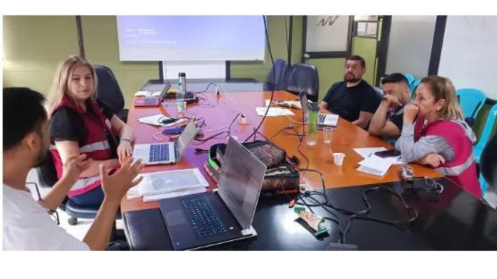
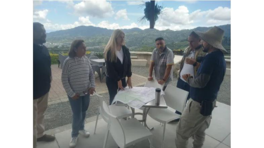
In addition, two joint field exercises have been carried out with DIG in the West Central Metropolitan Area (AMCO). The first one explored the possibility of providing support to DANE with AddressforAll and OpenStreetMap tools for the institution’s routine field work, such as the review of the statistical framework and the elaboration of statistical block sketches; tools such as FielsPapers.org, OSMand and the use of a drone for photogrammetry and terrain exploration were tested. In a second part of this same exercise, the methodology developed by AddressForAll Institute for rural nomenclature was applied to the Areas of Rural Economic Concentration (ACER), which in turn allowed us to improve the provided methodology. The second exercise, three AMCO zones were visited in order to validate the information provided by the “Maestro de Direcciones” and identify opportunities for improvement in the data collection methodology.

The AddressForAll Institute is currently working on a standardized grid for statistical purposes, the OSM.Codes, to be applied in Colombia and used by DANE and any other interested parties, considering its open source and free nature. DANE will continue to be an important ally for all of us who use open data, especially geographic data. We hope to continue working in this alliance, facing the challenges we have set ourselves, such as updating licenses and developing a methodology that allows for the constant updating and improvement of the country’s nomenclature data.

What We Learned in Our Webinar on Unique and Open Address Database Projects in Countries!
Delivering the BANOC Codes: A Landmark for Open Addressing in Cameroun
Overture Maps Foundation Releases General Availability of its Open Maps Datasets

Applause to IBGE for Publishing the Coordinates of 111 Million Addresses!


Hey how's it going?
Can you write your comments here?
Thanks for sharing. I read many of your blog posts, cool, your blog is very good.
Can you be more specific about the content of your article? After reading it, I still have some doubts. Hope you can help me.
Your article helped me a lot, is there any more related content? Thanks!