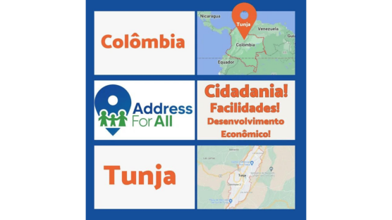
Tunja is a Colombian municipality, capital of the department of Boyacá, located in the eastern Andes mountain range, 115 km northeast of Bogotá. It is the highest capital city in the country. Our correspondent in Colombia, Fredy Rivera was hired for a project to improve rural nomenclature.
During the month of February, the following activities were carried out:
— Identification of entrance gates to rural properties in Tunja.
— Quality review of coverage points
— Assignment of OSM.codes to the identified gateways.
— Review of the municipality rural road map.
The process of identifying the coverage of rural properties in Tunja was completed and the OSM.codes corresponding to each of them (approximately 6000) were established. This information has been sent to the contractor for analysis.
This is the first time that the OSM.code is being used in an official way in Colombia and the AddressForAll Institute is proud of this.
The rural road map of the municipality was reviewed and improved in OpenStreetMap. The resulting information will be used to feed an algorithm that assigns names to roads according to context, taking into account data such as population density and toponymy.

Thierry intervenes in the World Statistics Congress in The Hague (Netherlands)

What We Learned in Our Webinar on Unique and Open Address Database Projects in Countries!
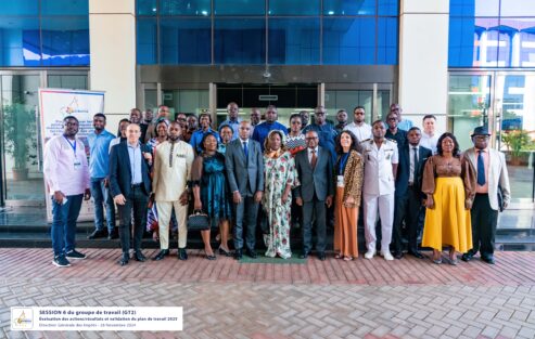
Delivering the BANOC Codes: A Landmark for Open Addressing in Cameroun
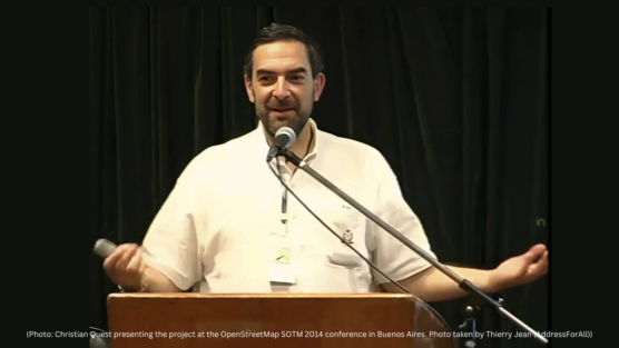
10 Years of BAN (Base Adresse Nationale): A Revolution in Address Management in France
Hey how's it going?
Can you write your comments here?





Your article helped me a lot, is there any more related content? Thanks!