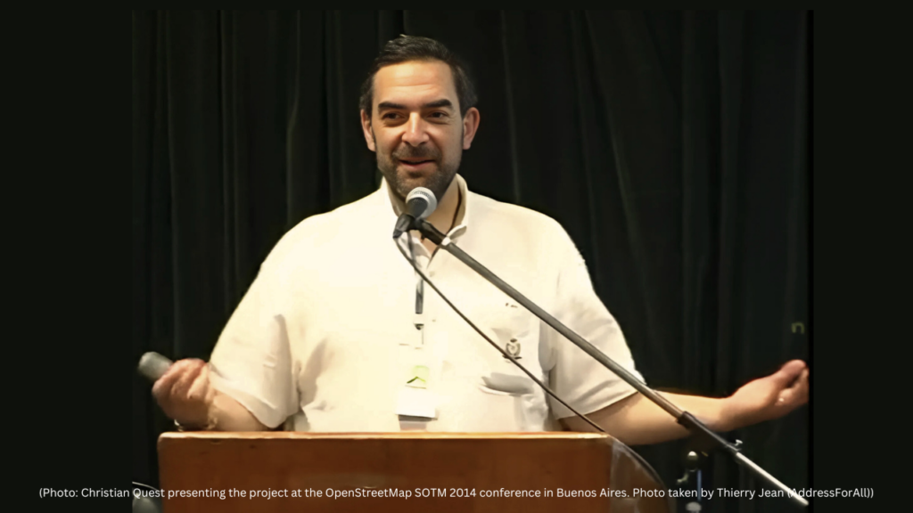
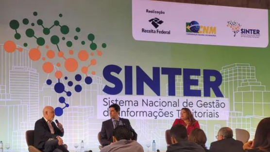
(Photo: Christian Quest presenting the project at the OpenStreetMap SOTM 2014 conference in Buenos Aires. Photo taken by Thierry Jean (AddressForAll))
On the 14th of this month, BAN (Base d’Adresses Nationale) celebrates a decade of existence, marking a significant transformation in address management in France. This innovative project was born from a simple but powerful idea: unifying the various address databases existing in different public and state administrations, creating a single and reliable source.
The Origin of BAN
It all started 12 years ago, when Christian Quest, then president of OpenStreetMap France, approached the French government saying: “you have several address databases in various administrations and state-owned companies, we at OpenStreetMap have another database. Why not create a single base for everyone?” The proposal was bold, but Christian’s vision was recognized, and he was invited and recruited to lead the project.
Today, BAN is not only a reality, but it is also protected by a law approved in 2022, consolidating its importance and guaranteeing its continuity.
BAN’s Technical Structure
The project’s architecture was designed by Jérôme Desboeufs, one of those responsible for BAN’s development. From the beginning, the base had contributions from various administrations, state-owned companies telephone companies, which provided their data to compose the initial version.

BAL (Base Adresses Locale): Empowering Municipalities
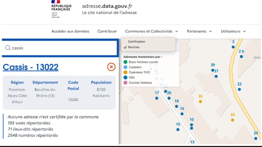
In France, the authority to create addresses lies with municipalities. Therefore, the project developed BAL (Base Addresses Locale), an open source web application designed to be extremely simple to use by laypeople.
This tool allows municipalities to:
- View and reposition address points.
- Consult data (points) from different sources, such as energy and telecommunications companies, which are highlighted in different colors
- Modify address names and attributes.
After editing, municipalities can generate a CSV or Excel file, with a data schema accessible to anyone in the local administration. With a simple upload, updates are integrated into the national BAN. Therefore, it is not necessary to be a GIS technician to be able to generate a BAL.
Furthermore, BAL is a flexible and free solution. Water, energy companies and other local service providers can also use the software and submit their suggestions to city halls, but city halls have full control, being the only ones with login and authority to feed the national database.
This tool allows municipalities to:
- Start from historical sources (such as postal, energy and telecommunications companies, which are highlighted in different colors).
- Update and enrich existing addresses.
- Add newly created addresses in the municipality.
- Integrate submitted contributions by citizens, emergency services, or anyone who has noticed errors in the field.
- Automatically update the national database (BAN) from the application.
In the background, the application generates a CSV or Excel file, with a simple data schema accessible to anyone in the local administration. With a simple upload, updates are integrated into the national BAN. Therefore, it is not necessary to be a GIS technician to be able to generate a BAL.
Furthermore, BAL is a flexible and free solution. It encompasses in addition to the web application other publishing methods to adapt to municipalities workflow : From a simple CSV upload to harvesting open data portals or even direct publication via API to allow working from existing GIS applications.
Citizens, water, energy companies and other local service providers can also use the software and submit their suggestions to city halls, but city halls have full control, being the only ones with login and authority to feed the national database.
The BAL Charter:
The BAL Charter brings together organizations that prioritize the Local Address Database format and commit to its governance. For the municipality, which holds authority over addresses, the key objective is to identify a contact person capable of providing assistance when needed. Partner organizations display the Charter on their websites and adhere to its principles. These organizations also commit to upholding the “Tell us the address once” principle. They are listed as trusted third parties on the BAN website.
Jules Saur, responsible for organizing the Webinars explains: “We would not have had these results without the help of the BAL Chart members as they played an important role in spreading the good word about the BAL.”

Impressive Results
BAN’s impact is notable:
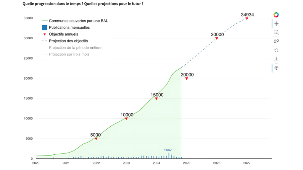
- 23,103 city halls, or 66% of the 35,071 in the country, have already joined the project.
- 100 webinars organized
- The adoption graph shows constant and accelerated growth over the years, indicating the reliability and usefulness of the tool.
A Global Inspiration
BAN is a shining example of how technology can simplify and improve the management of essential data like addresses. Its collaborative approach is a model to be followed by many countries that still face address management challenges.
It is remarkable that the project began informally in 2014, with the corresponding law passed only in 2022, eight years later! This highlights that starting an address project requires nothing more than a few dedicated individuals taking concrete action. The law and budget will naturally follow in due time.
In celebrating these 10 years, BAN reaffirms its commitment to innovation and efficiency, leaving a legacy that transcends borders.
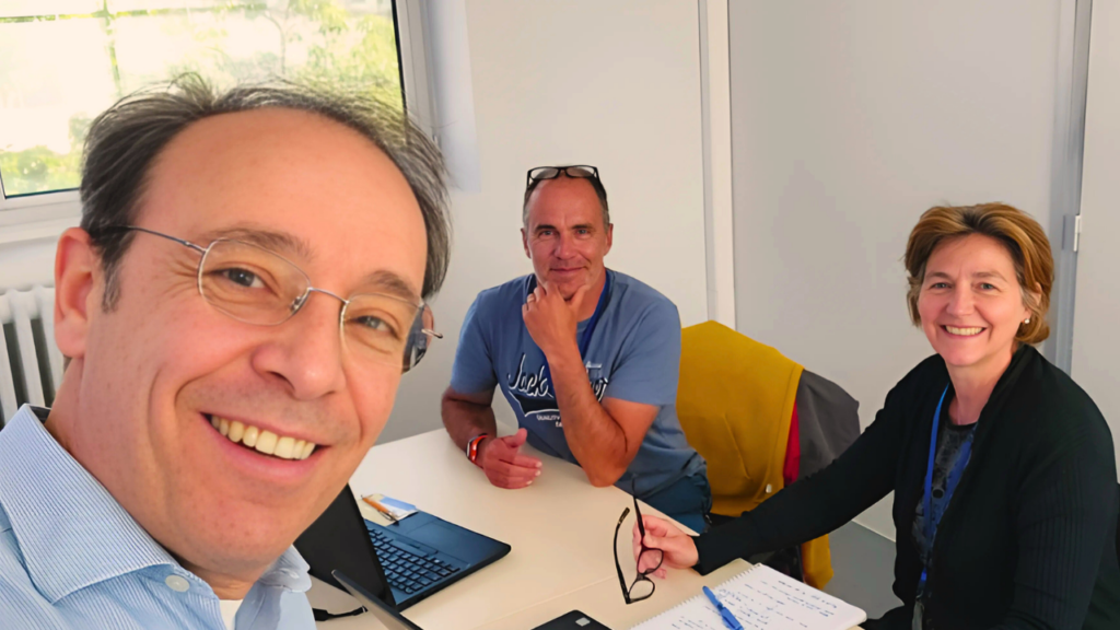

Thierry intervenes in the World Statistics Congress in The Hague (Netherlands)

What We Learned in Our Webinar on Unique and Open Address Database Projects in Countries!
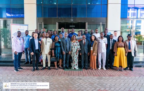
Delivering the BANOC Codes: A Landmark for Open Addressing in Cameroun

Overture Maps Foundation Releases General Availability of its Open Maps Datasets
Hey how's it going?
Can you write your comments here?

